Guam offers several very different coastal experiences: resort-front white sand, a public park with lawns, a rugged northern shore and saltwater pools protected by reef. A rental car expands your options, but trying to cover Tumon Bay, Ypao Beach Park, Tanguisson Beach and Inalåhan Pools in one day is inefficient.
This guide compares all four and divides them into a practical west-coast half day and a full day that reaches Guam’s southeast coast.
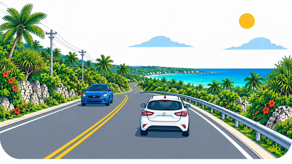
Two realistic route options
West-coast half day
- Choose one convenient public beach access in Tumon Bay
- Walk the lawn and shore at Ypao Beach Park
- Add Tanguisson Beach only when time and ocean conditions allow
Tumon and Ypao are in the same bay, while Tanguisson is also on Guam’s west side. This combination works for a shorter stay or a sightseeing day without swimming.
Full day to Inalåhan
- Start with a short morning walk in Tumon or Ypao
- Continue toward Route 4 and Inalåhan Pools
- Enjoy the southeast coast, then return before dark
Inalåhan is not a nearby extension of Tumon. Avoid squeezing Tanguisson into the same day; allow time for the southern scenery and the drive itself.
1. Tumon Bay: accessible white sand in the resort district
Tumon Bay is Guam’s main visitor district. Guam Visitors Bureau highlights its white-sand beaches and reef-protected waters, while hotels, restaurants and marine-activity operators make it easy to include in a first visit.
Conditions still vary within the bay with wind, tide, rain, current near reef openings and activity lanes. Never assume a hotel-front beach is automatically safe; check flags, notices and instructions from lifeguards or operators. Hotel parking and facilities may be restricted to guests, so use confirmed public access and observe posted conditions.
2. Ypao Beach Park: lawn and shoreline in one stop
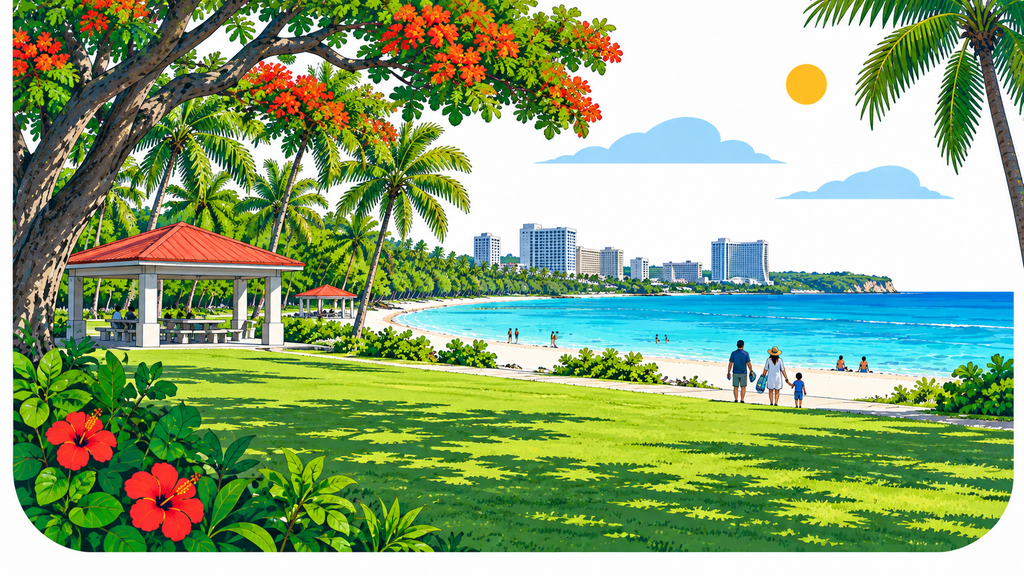
Ypao Beach Park is a popular public beach park at the southern end of Tumon Bay. Its broad lawn, shade and picnic facilities make it useful even for visitors who only want a waterfront break rather than a swim.
Weekends and events can increase demand. Use designated parking and never drive onto grass or stop on a shoulder. Before entering the water, review current water quality, surf, tide and on-site notices, and avoid touching coral or marine life.
3. Tanguisson Beach: a more natural northern shore
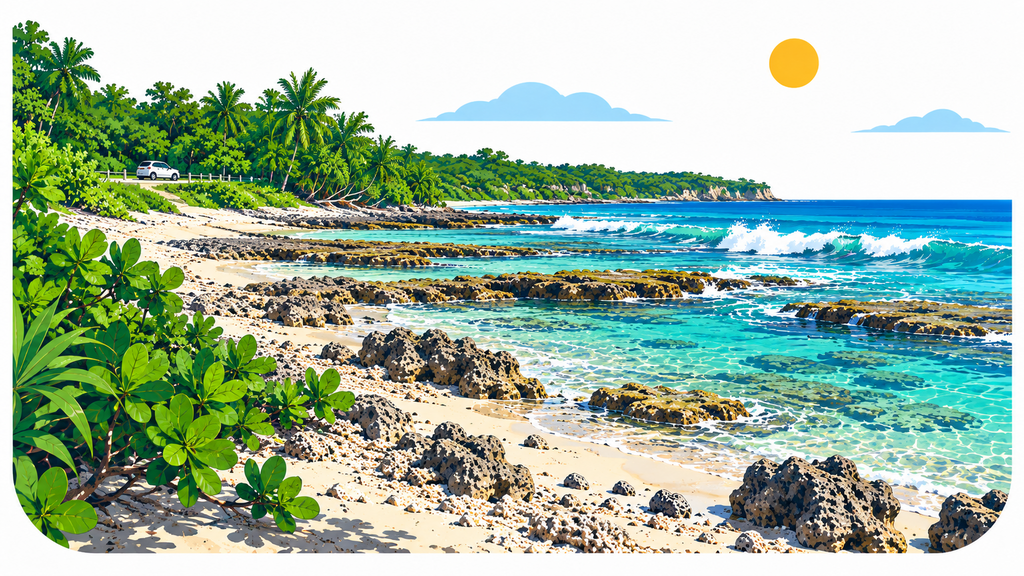
Tanguisson Beach lies on Dededo’s west coast. Rock and coral rubble mix with sections of sand, creating a less-developed coastal landscape than Tumon. Shoes with reliable grip are more useful than beach sandals alone.
Although it is often described as quiet, the water is not guaranteed to be calm. Check Guam EPA water-quality information, surf, tide and on-site warnings, and make the stop a shoreline walk when conditions are poor.
The mushroom-shaped rocks associated with the northern coast are not guaranteed to be beside the main stopping point. They are commonly approached by walking north toward Hila’an, which requires preparation for tide, heat, uneven footing and route-finding. Skip that extension when conditions or the route are uncertain.
4. Inalåhan Pools: saltwater pools behind the reef
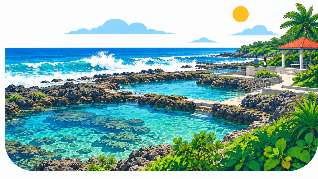
Inalåhan Pools is described by Guam Visitors Bureau as natural saltwater swimming holes protected by the reef. The contrast between the inner pools and waves breaking outside is a distinctive southeast-coast view.
“Natural pool” never means safe in every condition. Tide, outside surf, rain, water quality, wet steps and rock surfaces all change. Do not assume it is automatically suitable for young children. Check the latest Guam EPA advisory and conditions on site, never jump from structures or high rocks, and stay out of the water whenever safety is uncertain.
Check the Guam EPA beach advisory
Guam EPA routinely monitors recreational waters including Tanguisson, Tumon Bay, Ypao and Inalåhan Pools. When bacteria exceed accepted standards at a monitored location, an advisory recommends avoiding swimming and wading.
An advisory reflects a specific sampling period, not a permanent rating. Do not rely on last week’s result or clear-looking water; check the current report on the day of travel and be particularly cautious after heavy rain.
What to carry—and how to protect the car
- Drinking water, hat, rash guard, sunscreen and rain protection
- Shoes with grip for coral rubble and wet surfaces
- A separate bag for wet items and a dry towel for the vehicle
- Offline maps and a phone charger
- No bag, shopping item or valuable visible inside the car
- Never leave a person or animal in the vehicle; remove sand before entering
Follow signs and marked spaces. Never park on private property, grass, a narrow shoulder or across an entrance. Stop safely before using navigation or taking photographs.
Frequently asked questions
Can I visit all four places in one day?
It is physically possible, but combining northern Tanguisson with southeastern Inalåhan makes the day mostly about driving. For time at the water, choose the three west-coast stops or a southern day built around Inalåhan.
Which beach is always safe for swimming?
None. Water quality, surf, tide, weather and local restrictions change. Stay out of the water whenever current safety cannot be confirmed.
Is it safe to leave belongings in the rental car?
Do not leave bags, phones, purchases or other items visible from outside. Travel with only what you need and keep valuables with you.
Summary
Tumon offers convenience, Ypao adds public-park space, Tanguisson provides a more natural coast, and Inalåhan features reef-protected saltwater pools. Instead of racing across the island, divide the areas and spend time at one to three stops chosen for the day’s water quality, ocean and weather.
Information sources: Guam Visitors Bureau and Guam Environmental Protection Agency. Current water-quality reports, road signs, warnings and on-site instructions take priority.

